
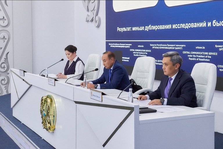
Deputy Minister Talgat Momyshev outlined plans to modernise Kazakhstan’s groundwater observation network.
English translation · Russian original
A phased programme through 2040 will restore and re-drill existing wells and drill more than 1,000 new ones, expanding the network to 5,000 observation points nationwide. Deputy Minister of Water Resources and Irrigation Talgat Momyshev announced this at a Central Communications Service press conference.
“In 2026, monitoring is being conducted in all 17 regions of the country. Network modernisation plans include drilling 135 wells, repairing and cleaning 139, and pumping 3,396 wells. Regular observations will continue in 2027. The work includes observing groundwater levels and quality; analysing hydrogeodynamic, hydrogeochemical and geothermal indicators; processing and systematising observations; and maintaining the State Water Cadastre and groundwater database,” Momyshev said.
Work is also planned to restore the observation network, including cleaning and re-drilling individual monitoring wells.
Particular attention is being paid to digitalising hydrogeology. Information about monitoring and production wells is being entered into Kazakhstan's National Water Resources Information System. Data on more than 3,000 state groundwater monitoring wells have already been entered, georeferenced in GIS and cleaned of errors and duplicates.
The result will be a unified digital platform containing information on groundwater reserves and quality, prospecting and appraisal results, monitoring, springs, production wells, observation wells and free-flowing wells.
A unified digital hydrogeological database is also being developed, including surveys of springs and the digitisation of archive materials. Work began in Zhambyl Region, where 586 springs have been surveyed. Surveys will gradually cover every region, with the results entered into the National Water Resources Information System to create a unified basis for recording, monitoring and analysing groundwater conditions.
The intended final result is a unified digital hydrogeological information base that will reduce duplication of previous studies, speed up the preparation of baseline data and provide a stronger basis for groundwater management decisions.